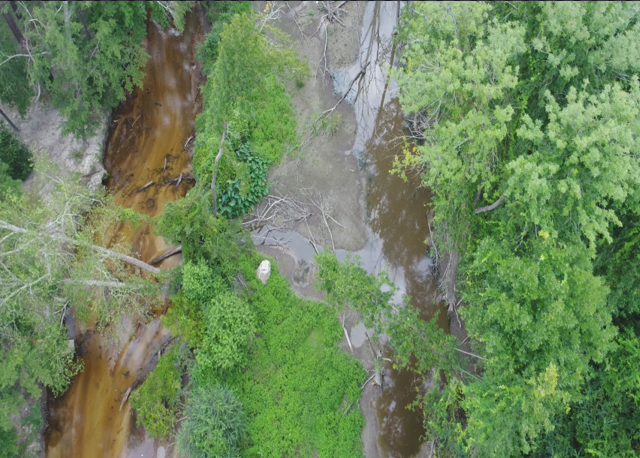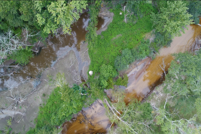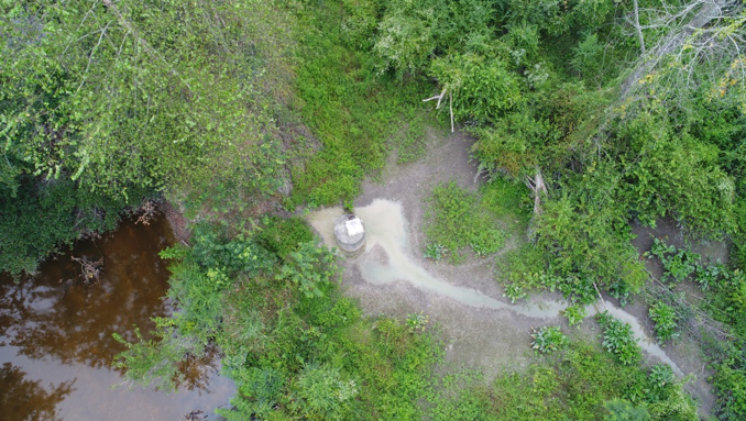
Aerial Mapping in Support of Disaster Relief
We have long range birds that are able to immediately map an area after a disaster.
We can share real time data* with first responders/Crisis management Centers
Can support first aide and basic live saving supplies to stranded civilians
Aerial Mapping and surveillance in support of Law Enforcement
High risk search warrant surveillance etc.
Crowd / Traffic monitoring
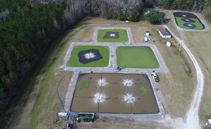
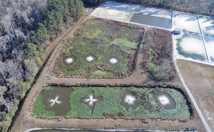
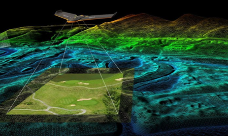
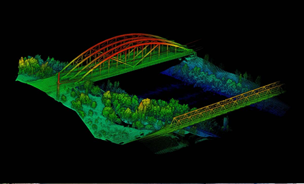
At ND3 Inc., we have the pilots available and the software to assist with your Aerial mapping and photogrammetry needs. There are endless possibilities where we could support your needs. Our drones meet industry standard for quality! The following is NOT an all inclusive list but some of the things that we can do.
Aerial mapping in support of your construction needs.
Survey* quality products using ground control points(GCPs) and check points. (Can also bring in a 3rd Party licensed Surveyor)
GIS data deliverables compatible with industry standard formats for us in your heavy machinery
(TOPCON and Trimble Compatible)